2.3991
1.3939
0.6668
0.4489
0.2124
0.2124
0.2026
0.1
0.0322
4.5318
4.3263
1.8725
1.8725
1.4613
0.9516
0.7165
0.1863
0.1074
16.0892
14.9765
5.8318
5.4523
4.4932
4.4932
2.3672
2.2771
0.6092
14.8452
11.2972
3.2629
2.9677
2.7441
2.7441
2.2012
1.8832
0.3949
Wetlands
Savanna
Forest
Crops
Mixed crop / forest
Barren
Shrubs
Grasslands
Urban
Inundated Landcover (sq. km)
Cambodia
Thailand
Vietnam
Laos
plotly-logomark
Edit chart
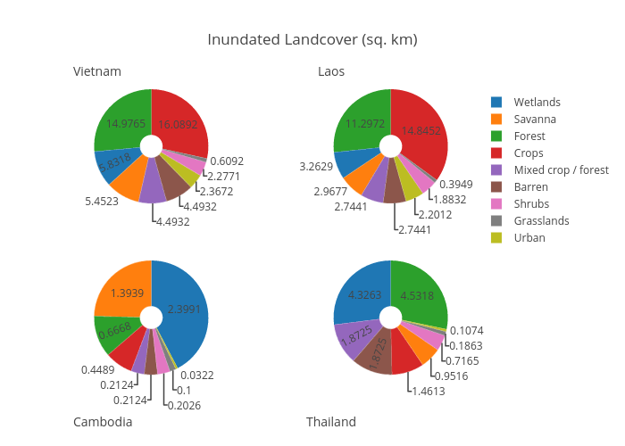
Projectmekongnasa's interactive graph and data of "Inundated Landcover (sq. km)" is a pie, showing Cambodia, Thailand, Vietnam, Laos. The x-axis shows values from 0 to 0. The y-axis shows values from 0 to 0. This visualization has the following annotations: Cambodia; Thailand; Vietnam; Laos